

Mapping Sustainability: Leveraging Geospatial Intelligence for a Traceable Supply Chain

As the EUDR deadline approaches, businesses face growing urgency to verify land-use change, eliminate deforestation risks, and build transparent, compliant supply chains. Yet a 2025 Forbes assessment revealed that only 30% of upstream and 12% of downstream companies have traceability systems capable of detecting deforestation—leaving a significant compliance and reputational gap.
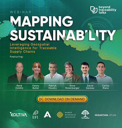
BeyondTraceability Talks #3, “Mapping Sustainability: Leveraging Geospatial Intelligence for a Traceable Supply Chain,” brings together leading experts to unpack how satellite technology, real-time monitoring, and advanced geospatial analytics can transform sustainability efforts from reactive to predictive. Featuring Anne R., Global Engagement Manager for Supply Chains at the World Resources Institute, and Fanny Butler, Senior Head of Markets (EMEA) at Koltiva, this webinar will explore how Global Forest Watch Pro and multi-satellite data fusion enable accurate land-use monitoring, even in complex production landscapes.
Participants will learn how to convert raw geospatial information into actionable strategies, strengthen internal decision-making, and ensure alignment with global regulations such as the EUDR. The session highlights practical steps for achieving deforestation-free sourcing, enhancing smallholder inclusion, and future-proofing supply chains through technology-driven transparency.
Join us to understand how geospatial intelligence unlocks a new level of accountability and sustainability.